Restoring Sage Creek
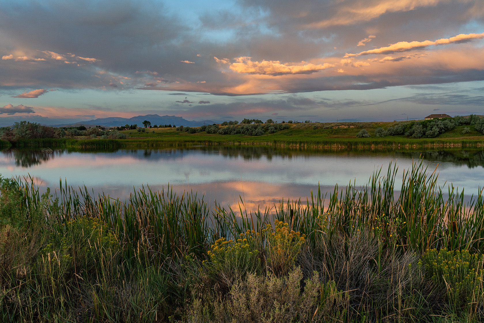
On November 20, the Sage Creek Wetlands Conservation Easement—a remarkable 132-acre stretch of habitat—was permanently protected from development. This milestone marks the beginning of a brighter future for Sage Creek as the Wyoming Game and Fish Department (WGFD) prepares to restore habitat on much of the same acreage.
A River’s Story
Sage Creek, the largest tributary to the Shoshone River between the Willwood Dam and the Buffalo Bill Reservoir, flows from the eastern flank of Carter Mountain with an additional 40 cubic feet per second from the Cody Canal to irrigate downstream farmland. While this supplemental flow supports agriculture, it also contributes sediment to the Shoshone River, which is ranked among the top 3–5% of Wyoming’s streams for trout production.
This region is also home to year-round mule deer populations and lies just a mile from critical winter range. Restoring the streamside vegetation will provide much-needed winter forage for mule deer and create a thriving ecosystem where fish and wildlife can flourish.
WGFD restoration efforts will focus on removing invasive Russian olive trees and replanting native woody riparian plants like cottonwoods and willows. These plants will provide essential forage and cover for mule deer and create conditions for beavers to recolonize Sage Creek. Beavers, often called nature’s engineers, play a vital role in restoring stream ecosystems by creating dams that slow the water’s flow, often forming sandbars and pools, which can serve as trout habitat and biodiversity.
Partnerships Powering Progress
The Sage Creek restoration effort is supported in part by the Wyoming Wildlife Natural Resource Trust, established in 2005 to conserve Wyoming’s wildlife habitats and natural resources. Any project designed to improve wildlife habitat or conserve natural resource values is eligible for funding. Restoration projects on conserved lands, like the project on Sage Creek, are secure investments as the land is forever protected from development.
Efforts by the Cody Canal further support the vision of a restored Sage Creek. A feasibility study is evaluating whether irrigation water could be delivered via pipeline instead of through Sage Creek, reducing sediment and restoring natural stream flows. This project would also remove the Greybull Highway diversion, which could reconnect fish habitats, opening upstream spawning areas and revitalizing Sage Creek as a fishery.
The lower Sage Creek region has also been identified as a priority under the United States Department of Agriculture-Natural Resources Conservation Service (USDA-NRCS) National Water Quality Initiative Program. From 2024 to 2028, cost-sharing opportunities will be available for landowners through the Cody Conservation District and USDA-NRCS to implement grazing management improvements, irrigation improvements, streambank and riparian enhancement practices, and other conservation practices that improve water quality.
Looking Ahead
With over 1.5 miles of Sage Creek now protected and an ambitious restoration vision taking shape, the possibilities for this vital watershed are extraordinary. From trout returning to its waters to thriving mule deer herds and flourishing riparian vegetation, the restoration of Sage Creek is about more than just wildlife—it’s about a legacy of stewardship and resilience.